Vegetation Fire Forces Evacuations and Highway 166 Closures in San Luis Obispo County
Key Takeaways
- A vehicle fire ignited rapidly spreading vegetation along Highway 166 near the Caliente Mountain Trail.
- The blaze has already consumed 268 acres and officials warn it could expand to nearly 1,000 acres.
- An evacuation warning is in effect for zones north of Highway 166, including Plowshare Peak and Spanish Ranch.
- Highway 166 remains closed between Spanish Ranch and Cottonwood Canyon Road for firefighting operations.
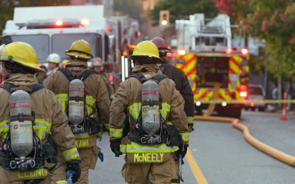
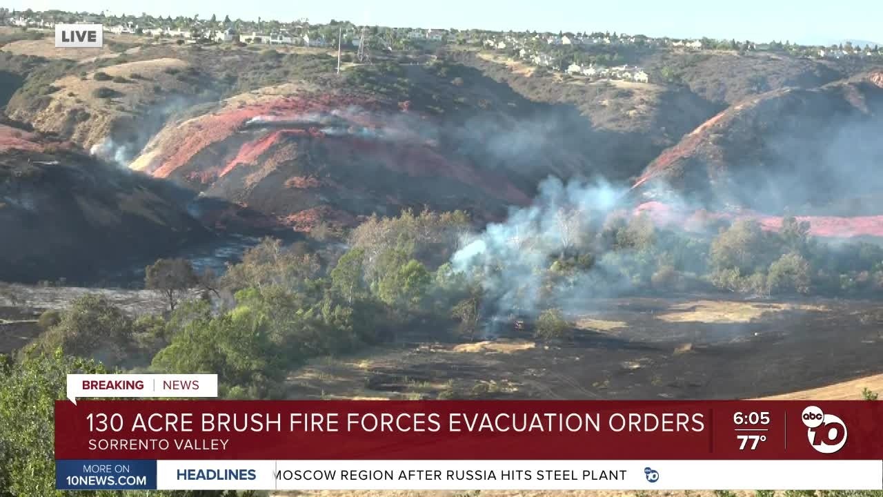
A fast-moving vegetation fire broke out early Saturday morning on the Central Coast, quickly engulfing hundreds of acres and disrupting travel along a major transportation corridor. Emergency crews from multiple agencies are battling the flames near Highway 166, prompting authorities to issue evacuation warnings and close sections of the highway.
Rapid Growth and Initial Response
The incident began around 11:20 a.m. when emergency dispatchers received reports of heavy black smoke rising from the area west of Cottonwood Canyon Road, northeast of Santa Maria. According to preliminary reports, a vehicle caught fire and quickly ignited the surrounding dry brush. By the time Cal Fire and the Santa Barbara County Fire Department arrived, the flames had already spread across both sides of the roadway.
Dispatch data indicates the fire started small but exploded in size within hours, jumping from roughly 10 acres to 268 acres by late morning. Firefighters fear the fire could continue to grow until it reaches approximately 1,000 acres given the current weather conditions and terrain.
Evacuations and Highway Closures
Safety concerns led local authorities to activate emergency protocols almost immediately. An evacuation warning was issued for specific emergency zones, including SBC-167-A, SBC-167-B, and SBC-169-A. These areas encompass communities such as Plowshare Peak, Spanish Ranch, and parts of Cottonwood Canyon. Residents in these zones were advised to prepare for potential mandatory evacuation orders and ensure they have their go-bags ready.
To help residents monitor the situation, emergency services recommend utilizing the Genasys Protect app, which provides real-time visual mapping of fire impacts and automated alerts based on your location.
Travelers face significant disruptions as well. The California Highway Patrol closed Highway 166 between Spanish Ranch and Cottonwood Canyon Road in both directions. While local residents with valid identification were permitted to drive into the affected area, all through traffic was strictly prohibited to allow aerial tankers, bulldozers, and ground crews safe access to the fire line.
Local California Context
Highway 166 serves as a critical artery connecting the Central Coast to the Cuyama Valley and the southern San Joaquin Valley. The sudden closure forces commercial trucks and commuters to seek lengthy detours, adding considerable strain to regional logistics during peak fire season. Local law enforcement and fire personnel are coordinating closely to manage the influx of media and public inquiries while prioritizing life safety over property protection.
Beyond immediate suppression efforts, regional fire management in San Luis Obispo County increasingly depends on interagency cooperation to address systemic resource gaps. As federal wildfire crews become stretched thin by blazes across the western United States, California has mobilized state funding and personnel to support vegetation management on federal lands. Organizations such as the San Luis Obispo County Community Fire Safe Council have partnered with Cal Fire to carve strategic fuel breaks along steep ridgelines, particularly around high-severity zones near the Diablo Canyon Power Plant. A 2023 memorandum of understanding between Cal Fire and the U.S. Bureau of Land Management now permits state crews to conduct critical clearing operations on federal territory, accelerating containment preparations. Officials stress that wildfires do not follow jurisdictional lines, making coordinated state and federal action essential for safeguarding communities and transportation corridors during peak fire season.
Proactive land management remains a cornerstone of regional wildfire strategy, particularly in San Luis Obispo County. In the Bayview area of Los Osos, Cal Fire and County Fire have partnered with the Air Pollution Control District to conduct prescribed burns within the Morro Dunes Ecological Reserve. Spanning 286 acres across the Bayview and Pecho units, this initiative targets the deliberate removal of accumulated flammable vegetation to bolster community wildfire defense. The operation also supports ecological restoration by promoting the regeneration of fire-dependent species such as Bishop Pine, Morro Manzanita, and Indian Knob Mountain balm. Designated as an ecological reserve in 1983, the dune scrub habitat faces elevated insurance challenges due to official high fire danger designations, making these controlled burns a critical step for local homeowners. With weather permitting, the multi-phase project extends through late August, and officials advise residents to expect visible smoke while emphasizing that non-emergency calls should be avoided during operations.
Background
Fire seasons in California have become increasingly prolonged and intense due to extended drought conditions and volatile wind patterns. Agencies across the state routinely deploy air tankers and dozer teams to contain brush fires before they merge into larger complexes. Historical data shows that rapid escalation from point sources like vehicle accidents is common during high-risk summer months.
Conclusion
As firefighters continue their efforts to establish containment lines, residents in the vicinity should remain vigilant, monitor official channels for updates, and avoid unnecessary travel in the area. Authorities emphasize that community cooperation and adherence to evacuation warnings are vital to keeping everyone safe until the blaze is fully controlled.
Sources and Materials
- [keyt](https://keyt.com/news/)
- [noozhawk](https://www.noozhawk.com/vegetation-fire-burning-on-both-sides-of-highway-166-east-of-santa-maria-valley/)
- [sfchronicle](https://www.sfchronicle.com/projects/california-fire-map/carrizo-fire-2026)